L'Heure du Voyage
Mountain massif of Cirque de Mafate, Reunion Island
🇷🇪 Reunion · Mafate

Cirque de Mafate: hiking, îlets and 2026 tips

Cirque de Mafate, UNESCO-listed, is accessible only on foot or by helicopter. Trails, inhabited îlets (Marla, La Nouvelle, Aurère), licensed gîtes and hike prep. Here's how to handle it in 3 to 5 days.

Cirque de Mafate at a glance

Area

100 km² (cirque)

Access

On foot only

Ideal stay

3 to 5 days hiking

Budget / day

€60-120 gîte FB

Elevation

800-1,500 m/day

Time diff

+3h winter, +2h summer

Current climate

Best season

Photo : Sergey Zhesterev / Unsplash

In brief

Cirque de Mafate in brief

  • 1

    No road, no car, no scooter

    Mafate is closed to motorized vehicles. You enter only on foot via the trails (Col des Boeufs, Maïdo, Sans Souci, Salazie) or by helicopter (scenic or resupply).

  • 2

    Licensed gîtes to book in advance

    €60-90/person full board (dinner, bed, breakfast, picnic). Booking essential, especially July-August, on the Île de La Réunion Tourisme portal.

  • 3

    Pick your entry point

    Col des Boeufs (parking): easy descent to La Nouvelle (2h). Maïdo: descent to Roche Plate (3-4h, tough). Sans Souci: climb to Aurère (5-6h). Salazie: the longest traverse.

  • 4

    Phone ahead: weather and ravines

    Fickle weather, daily fog from 1pm, mountain storms. Ravines can flash-flood after rain. Check Météo France Réunion the day before.

  • 5

    Good fitness required

    800-1,500 m elevation gain per day, technical trails with carved steps. Mafate isn't a Sunday family stroll. High-ankle hiking boots mandatory, poles recommended.

Must-see

What to do in Mafate?

★ #1 📍

Îlet de Marla

Highest îlet in the cirque (1,620 m), spectacular view of the Trois Salazes and Maïdo. Classic hike stage before the Col du Taïbit or Col des Boeufs.

⏱ Hike stage 💰 €70 gîte FB Exceptional view
★ #2 📍

Îlet de La Nouvelle

Most accessible (2h from Col des Boeufs), several gîtes, restaurant, school. Excellent base to discover Mafate without extreme commitment.

⏱ 2h access 💰 €65 gîte FB Ideal base
★ #3 📍

Îlet de Roche Plate

Heart of the cirque, near the Rivière des Galets, natural hot spring. Access from Maïdo (4h, -1,400 m elevation) or Aurère.

⏱ 4h access 💰 €65 gîte FB Hot water
★ #4 📍

Îlet d'Aurère

Northern cirque, climb from Sans Souci (5-6h, +1,500 m). Most remote, view of the Trois Salazes and the authentic Mafate.

⏱ 5-6h access 💰 €60 gîte FB Remote
★ #5 📍

Cayenne

Small îlet between Roche Plate and Aurère, quiet wooded stage. For those seeking absolute silence.

⏱ Hike stage 💰 €60 gîte FB Silence
★ #6 📍

Grand Place les Hauts

Western îlet, access Maïdo or Sans Souci. View of the Rivière des Galets, mango orchards.

⏱ Hike stage 💰 €60 gîte FB Orchard
★ #7 📍

Col des Boeufs (entry)

Easiest entry from Salazie (guarded parking €5/day). Descent to La Nouvelle in 2h, climb back 3h.

⏱ Vehicle access 💰 €5/day parking Simplest
★ #8 📍

Maïdo Belvedere

Belvedere at 2,200 m over the entire cirque. Drive access from Saint-Paul. Starting point of the Roche Plate descent.

⏱ 1h on site 💰 Free 360° view
★ #9 📍

Plaine des Tamarins

Century-old tamarind forest between Col des Boeufs and La Nouvelle. Sacred place for Réunionnais, mystical atmosphere.

⏱ 1-2 h 💰 Free Sacred forest
★ #10 📍

Helicopter flight

Overflight of Mafate, the Trois Salazes, the Maïdo. 30 to 60 min, €200-300/person. The only way to see the cirque in one day.

⏱ 30-60 min 💰 €200-300/pp Postcard

Choose your district

Îlets & gîtes of Mafate

Marla (highest)

1,620 m, Trois Salazes view. Several gîtes, exceptional outlook. From €70 FB.

★ View

La Nouvelle (accessible)

Most accessible (2h from Col des Boeufs), many gîtes, restaurant. From €65 FB.

★ Beginner-friendly

Roche Plate (heart)

In the center, natural hot water. Gîtes rarer but unique mood. From €65 FB.

Heart of cirque

Aurère (remote)

Most remote, 5-6h access. For seasoned hikers after authentic Mafate. From €60 FB.

Remote

Getting around

Access to Mafate

🥾

Col des Boeufs trail

Easiest: drive to the parking (€5/day), 2h descent to La Nouvelle, 3h climb back. Ideal for 1 or 2 gîte nights.

🥾

Maïdo trail (Roche Plate)

Belvedere at 2,200 m, 4h descent to Roche Plate (-1,400 m elevation), 6h climb back. Steep trail, carved steps. Very tough.

🥾

Sans Souci trail (Aurère)

From the north (Saint-Paul). 5-6h climb to Aurère, +1,500 m elevation. For strong hikers, avoid mid-heat.

🚁

Helicopter

30-60 min scenic flight, €200-300/person. Hélilagon, Corail Hélicoptères. Gîte resupply possible (€4/kg).

Climate & crowds

When to visit Mafate?

Ideal Fair Avoid

01

Jan

02

Feb

03

Mar

04

Apr

05

May

06

Jun

07

Jul

08

Aug

09

Sep

10

Oct

11

Nov

12

Dec

Dry austral winter

May to Oct · 5-22°C, dry · Ideal: clear skies, trails open, cool nights

Humid summer

Nov to Apr · 10-25°C, storms · Fair: frequent rain, fog, possible flooded ravines

Cyclone peak

Jan to Mar · Major risk · Avoid: cut ravines, sometimes closed gîtes

Shoulder

Apr & Nov · 8-23°C · Good: balance of price/crowds

How much

Mafate budget (per day, per person)

Self-supported hike

€60

per day

  • 🏠 Licensed gîte: €60 full board
  • 🎒 Personal hiking backpack
  • 🥾 Trail (free)
  • 💧 Water bottle + filter
Recommended

Guided comfort

€120

per day

  • 🏠 4-star gîte: €80 FB
  • 🥾 Hiking guide: €30/day
  • 🎒 Gîte resupply
  • 🚁 1 return helicopter trip

Helicopter premium

€400

per day

  • 🏠 Boutique gîte: €90 FB
  • 🚁 Scenic flights included: €250
  • 🥾 Private guide + porter
  • 🍷 Fine-dining picnics

Our tested itinerary

Mafate in 3 days (Col des Boeufs entry)

Day-by-day program.

1

Day 1: Col des Boeufs → La Nouvelle

  • 8am Leave Col des Boeufs parking
  • 9am Plaine des Tamarins (sacred forest)
  • 10:30am Arrive at La Nouvelle gîte
  • Afternoon Rest, explore îlet, chat with locals
  • 7pm Gîte dinner (carry, rougail, arranged rum)
2

Day 2: La Nouvelle → Marla

  • 8am Leave La Nouvelle
  • 10am Plaine aux Sables
  • 12pm Col des Calumets
  • 1:30pm Arrive at Marla gîte (1,620 m)
  • 4pm Sunset on the Trois Salazes
3

Day 3: Marla → Col du Taïbit → exit

  • 7am Leave Marla toward Col du Taïbit
  • 10am Col du Taïbit (cirque exit)
  • 12pm Descent to Cilaos
  • 2pm Lunch in Cilaos, overnight or back to Saint-Denis

Around

Beyond Mafate

📍

Cirque de Cilaos

Southern neighbor · Thermal spring, Cilaos wine and lentils

📍

Cirque de Salazie

Northeastern neighbor · Wetter and greener, listed Hell-Bourg

📍

Piton des Neiges

3,071 m summit · Night climb for sunrise

Sunset over the Saint-Denis coastline in Reunion Island 📍

Saint-Denis

Capital · Rest and Creole food before or after Mafate

FAQ

Cirque de Mafate FAQ

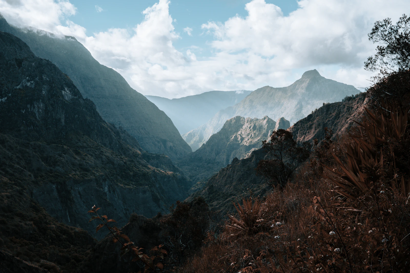
Do you need to be fit for Mafate? +
Yes, Mafate is real mountain hiking. 800 to 1,500 m elevation per day depending on stages, technical trails, carved steps, drop-offs. High-ankle hiking boots mandatory, poles recommended. Not a Sunday family stroll.
How to book Mafate gîtes? +
Via the official Île de La Réunion Tourisme portal or directly with the licensed gîtes. €60 to €90/person full board (Creole dinner, bed, breakfast, next-day picnic). Book 2-3 months ahead for July-August, freer in shoulder seasons.
Easiest entry point? +
Col des Boeufs: drive to the parking (Salazie), 2h descent to La Nouvelle. Ideal for a first taste or a 1-2 night stay. Maïdo is more spectacular but much harder (4h descent, 6h climb back).
Can you enter Mafate by helicopter? +
Yes, several operators offer scenic flights (Hélilagon, Corail Hélicoptères, €200-300/person for 30-60 min). No classic drop-off tourism, but gîte resupply possible (useful if you don't carry your gear). Check with the gîte before departure.
What gear for Mafate? +
High-ankle hiking boots (ankles), 30-40 L backpack, rain + heat clothing (layers), hiking poles, headlamp, 2L water bottle minimum + filter, first aid, IGN Top 25 paper map (4402 RT or 4406 RT). Charged phone, share your itinerary with someone.
Is there mobile coverage in Mafate? +
Very patchy. A few ridges pick up a weak signal, La Nouvelle has Free and Orange spots. Don't rely on it for navigation. Paper IGN maps mandatory, trails marked by the French Hiking Federation.

Thomas Bernard

·

Geographer & traveler

Last updated: June 9, 2026.

View profile →